


I figured that our hike to Avalanche Lake at Glacier National Park should be a separate post from my Glacier National Park Photojournal (Part One), or it would just be too long!

This is the sign at the bottom of the trail. It says it is an "easy, two-mile hike" to the lake, but fails to mention that most of that time that "easy" hike will be on a rough and muddy trail at an approximately 45% uphill grade. None of us would have chosen the word "easy" to describe this trail, although it did not require ice-picks or rappelling equipment to navigate, so maybe it's all relative.

Early going was pretty easy, for real.


 |
| photobombed! |
 |
| No dancing on rocks! |
I guess that's not a bad rule, since I wouldn't want to slip and fall here!
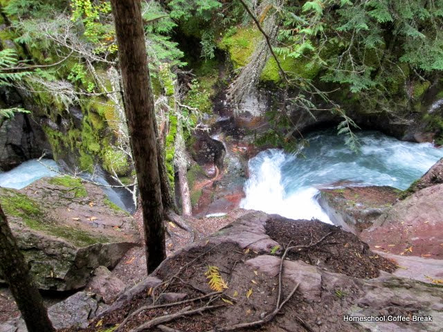

It levelled out here, but we were warned to "keep out" all the same.

Guess we don't have much choice.

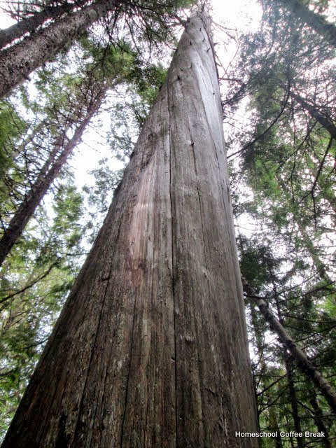
Kennady was fascinated by how these trees seemed to grow in a spiral.

At long last, we were rewarded with the scene of Avalanche Lake.


Time for another 'band' picture:

Hey, who are these two?

And what do they think they are doing?


Spencer does his Forrest Gump impression. LOL


 |
| Hailstone! |
It's time to head back down the mountain.

The Avalanche Lake trail branches from a truly easy boardwalk trail, with this beautiful view.

We made only one other stop in the park that day.


The next day we were treated to some lovely views as we drove around Glacier National Park and headed north to Canada.


And the snow got serious about the time we reached Marias Pass.

There's a lovely 'catch-all' memorial at the pass so that you can minimize the number of stops you need to make when it's so cold!


We chose to take a small secondary highway that skirts the east side of the park. It gave us some great views, but we were also wondering why there was a road there in the first place.

The Avalanche Lake trail branches from a truly easy boardwalk trail, with this beautiful view.
 |
| same shot, but with a slower shutter speed |
The next day we were treated to some lovely views as we drove around Glacier National Park and headed north to Canada.
And the snow got serious about the time we reached Marias Pass.
There's a lovely 'catch-all' memorial at the pass so that you can minimize the number of stops you need to make when it's so cold!
We chose to take a small secondary highway that skirts the east side of the park. It gave us some great views, but we were also wondering why there was a road there in the first place.
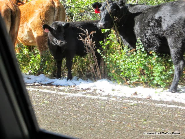
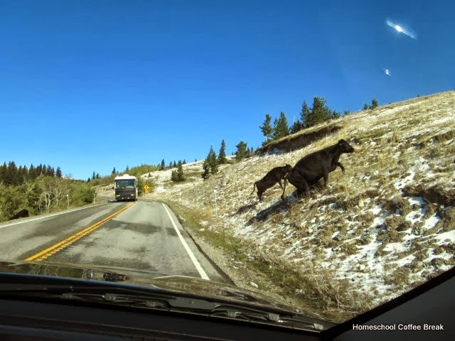
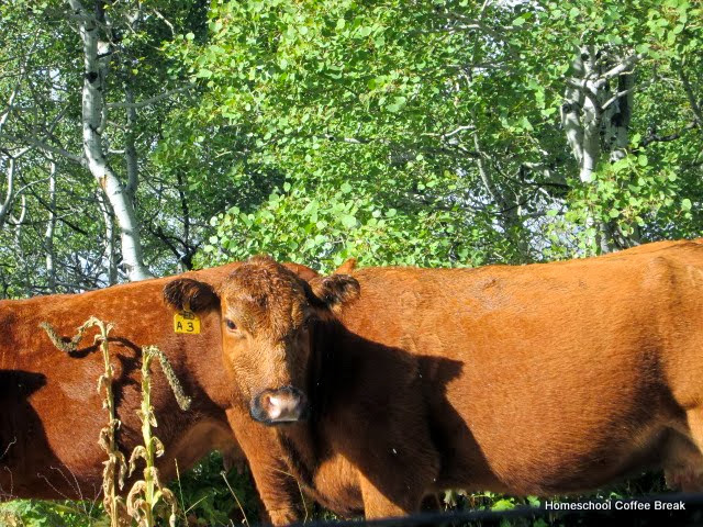 |
| free range cattle |

 |
| Yeah. That's the road. The road to nowhere, apparently. |
The change from mountains to high plains seems abrupt.


Once we saw this view - unmistakably Chief Mountain - we knew we were almost at the Canadian border.

And that's where I'll leave off for this edition! Sorry it's so long!
Don't miss a coffee break! Subscribe to Homeschool Coffee Break by Email!
©2006-2013 Homeschool Coffee Break. All rights reserved. All text, photographs, artwork, and other content may not be reproduced or transmitted in any form without the written consent of the author. http://kympossibleblog.blogspot.com/


0 comments:
Post a Comment
I love comments! It's like visiting over a virtual cup of coffee.